Porto: The City
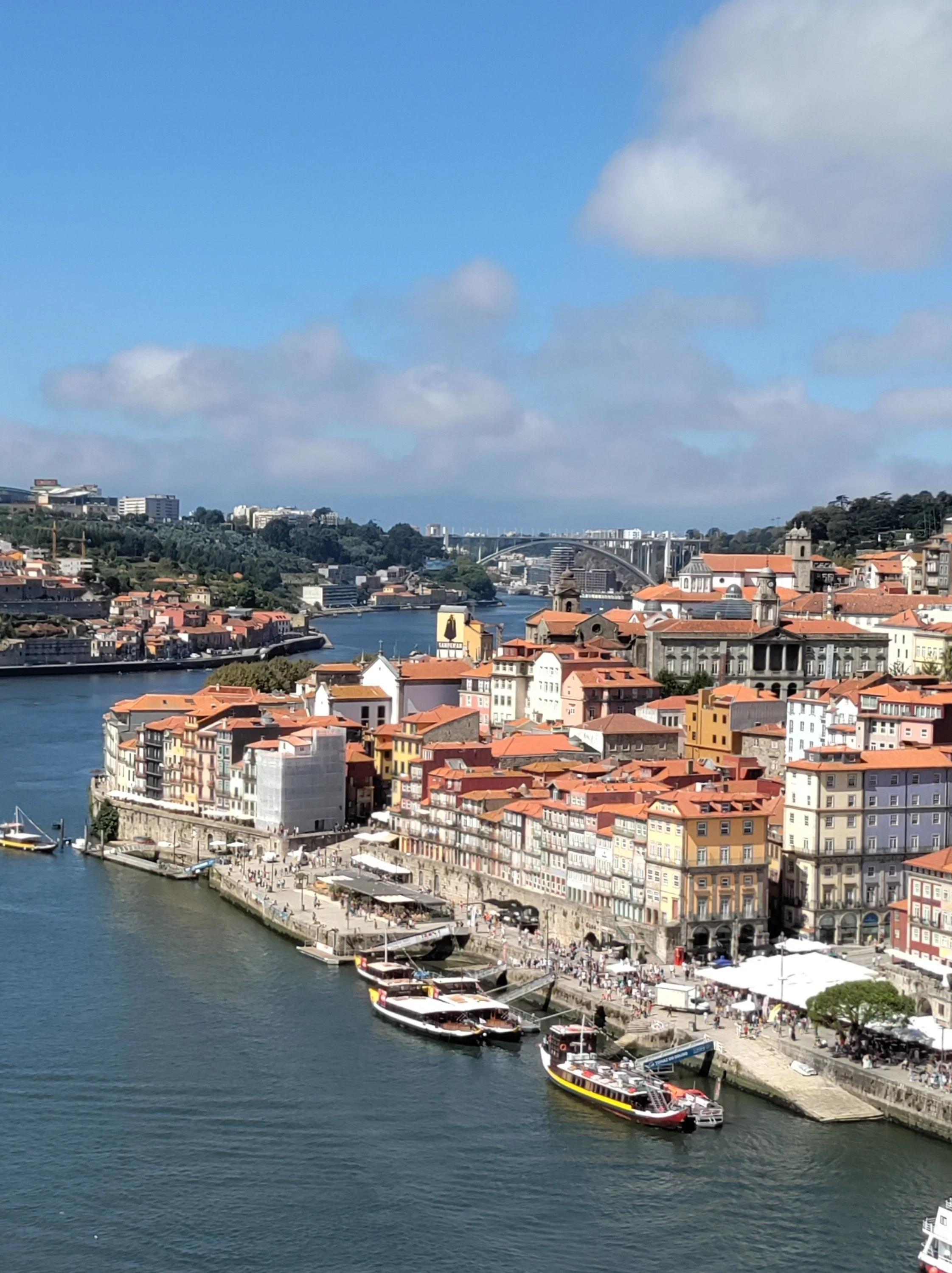
View from the top of the bridge
Porto is a coastal city in northwest Portugal on the Duoro River known for its port and 6 bridges. It is a built up medieval city that has grown to become Portugal’s second city. The weather here has been warm but some days starts out foggy and damp but gives way to nearly 80 degree weather most afternoons. The river Duoro separates the 2 halves of the city. Although technically 2 cities, Porto and Gaia, they operate as one. The above photo is the Porto side and the Gaia side is where the famous port caves are. The bridge is the main one and is called the D. Luiz I. The top walkway (which is also where the train runs) is about 200 feet above sea level.
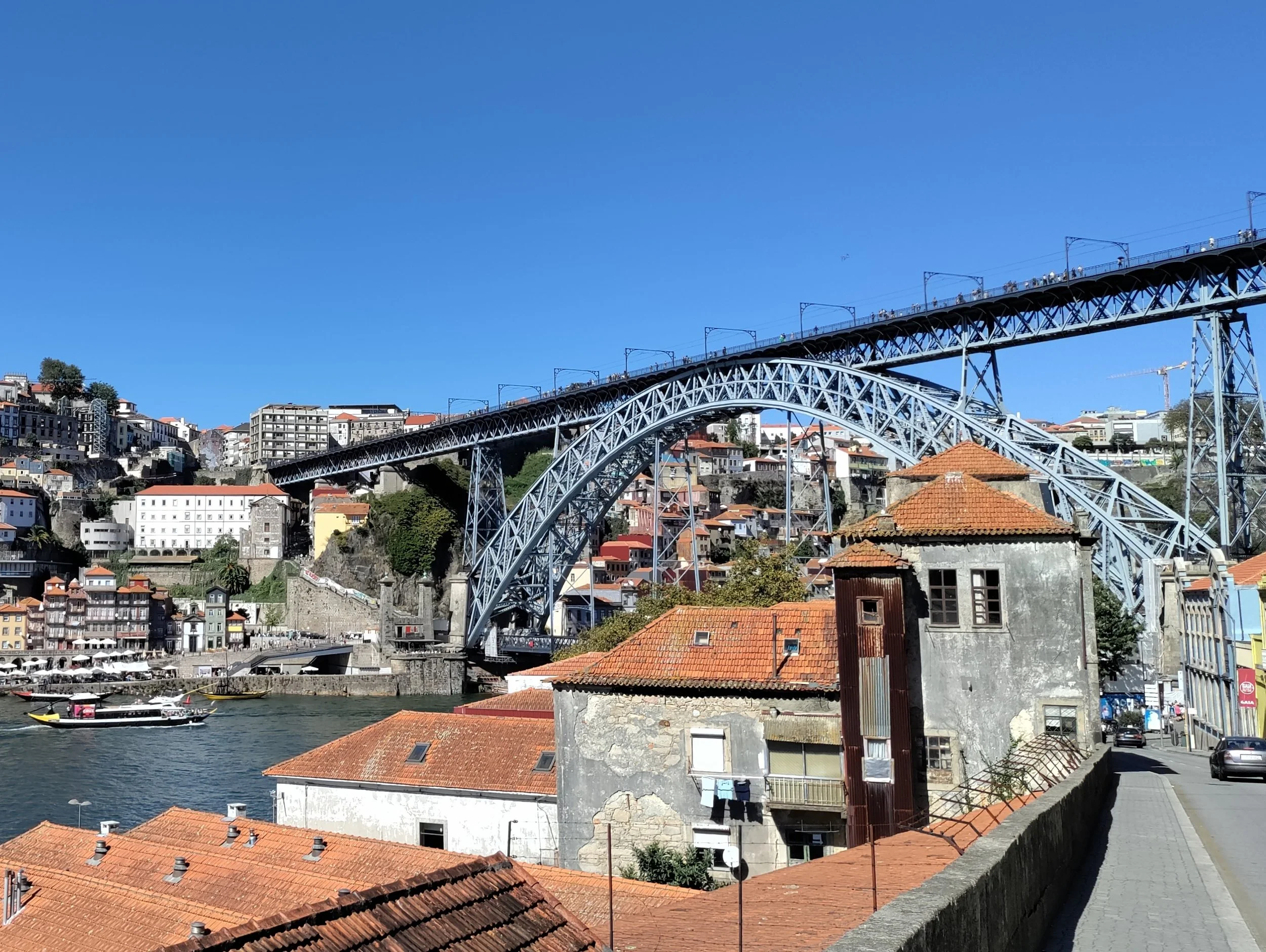
View from below the bridge
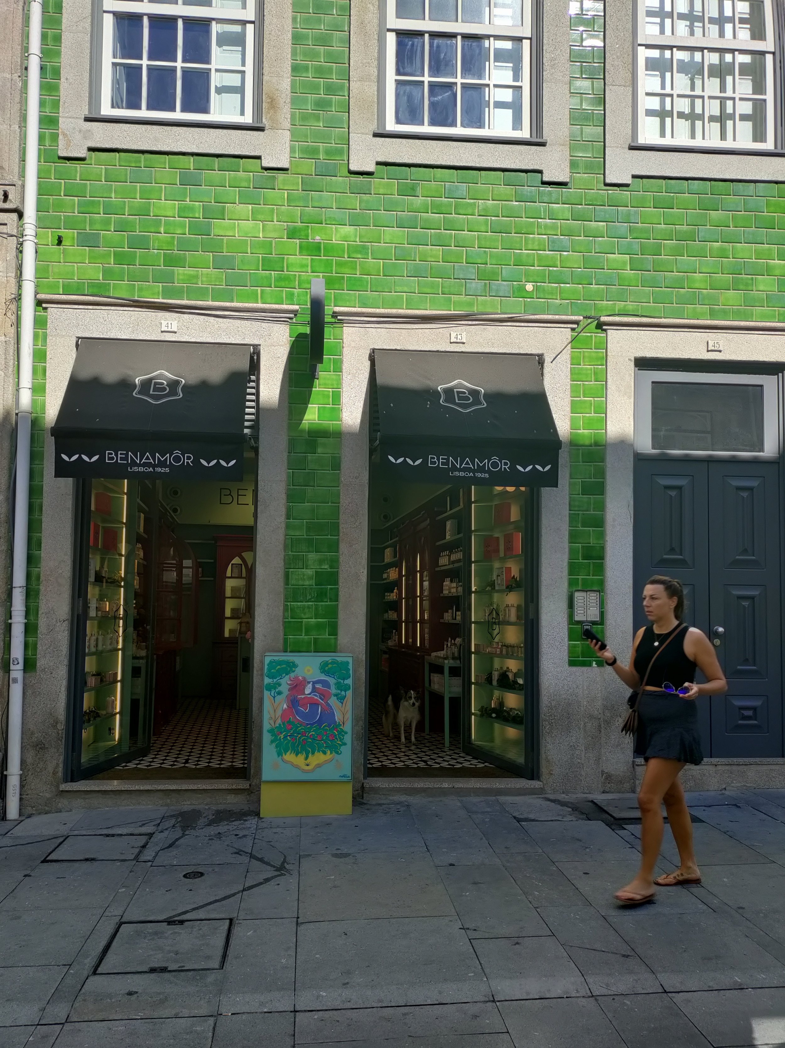
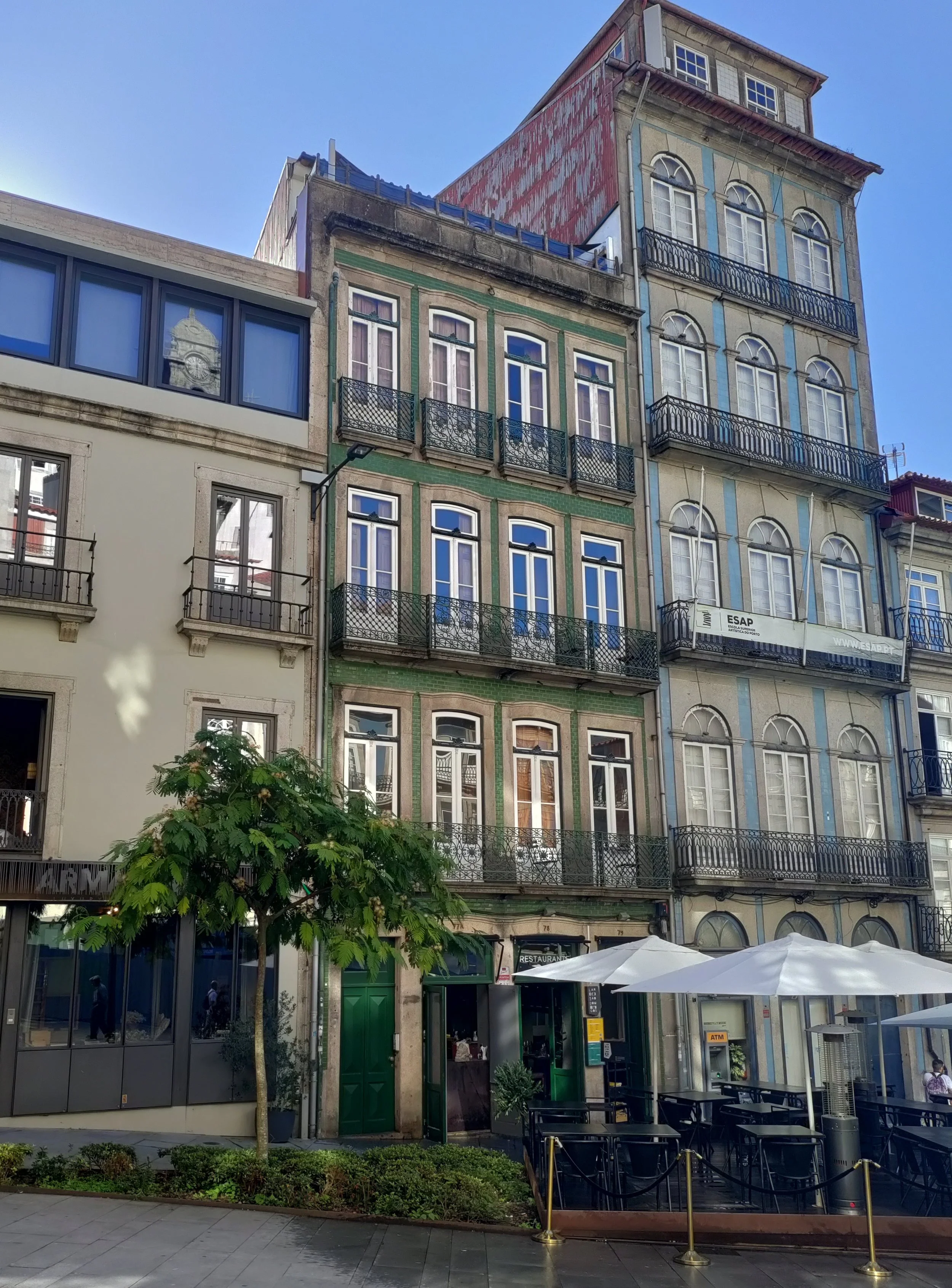
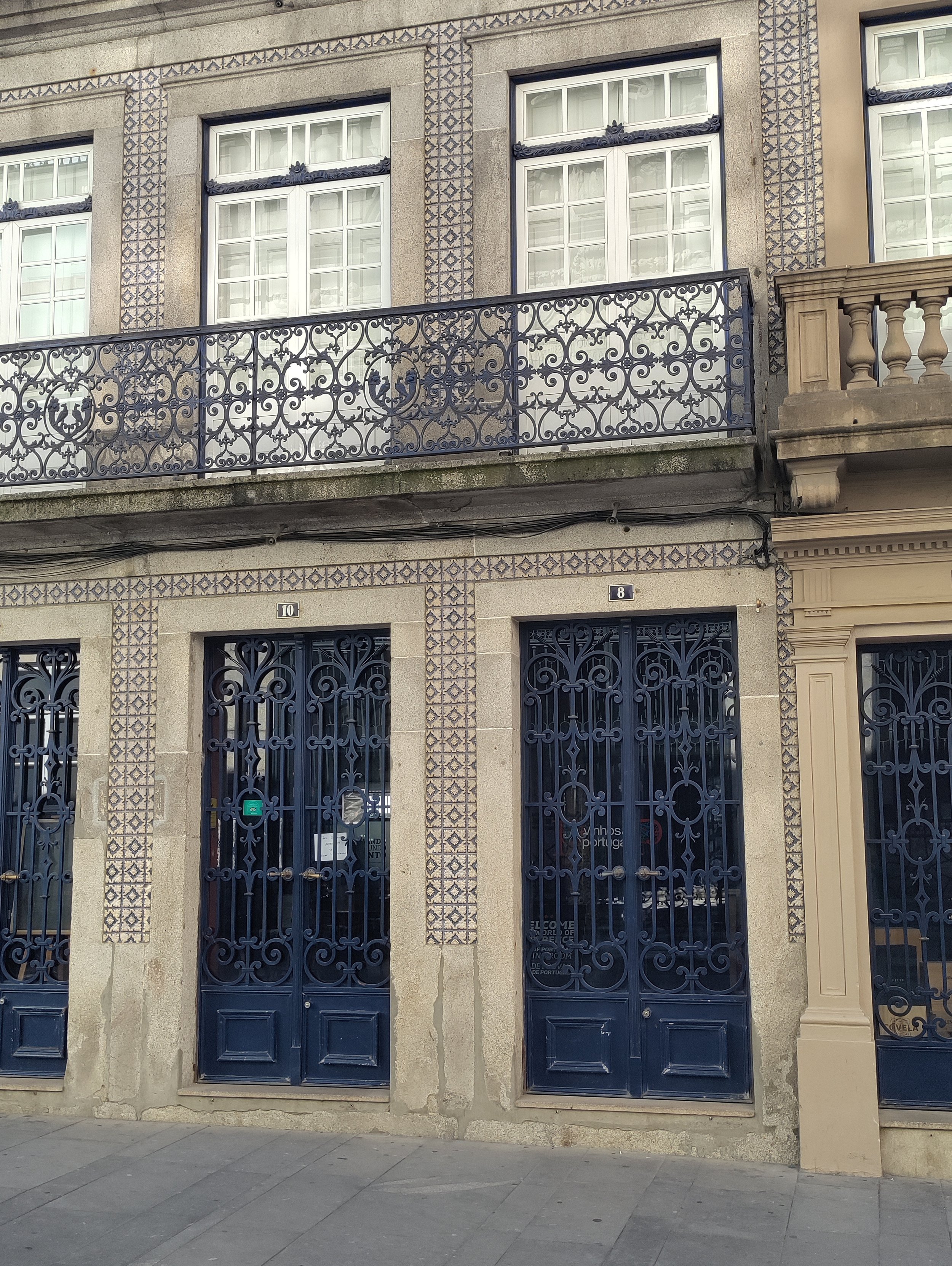
What I like most about Portugal is the tiled buildings. We first saw them in previous trips to the south and middle of the country. Here are some of the buildings around our hotel.
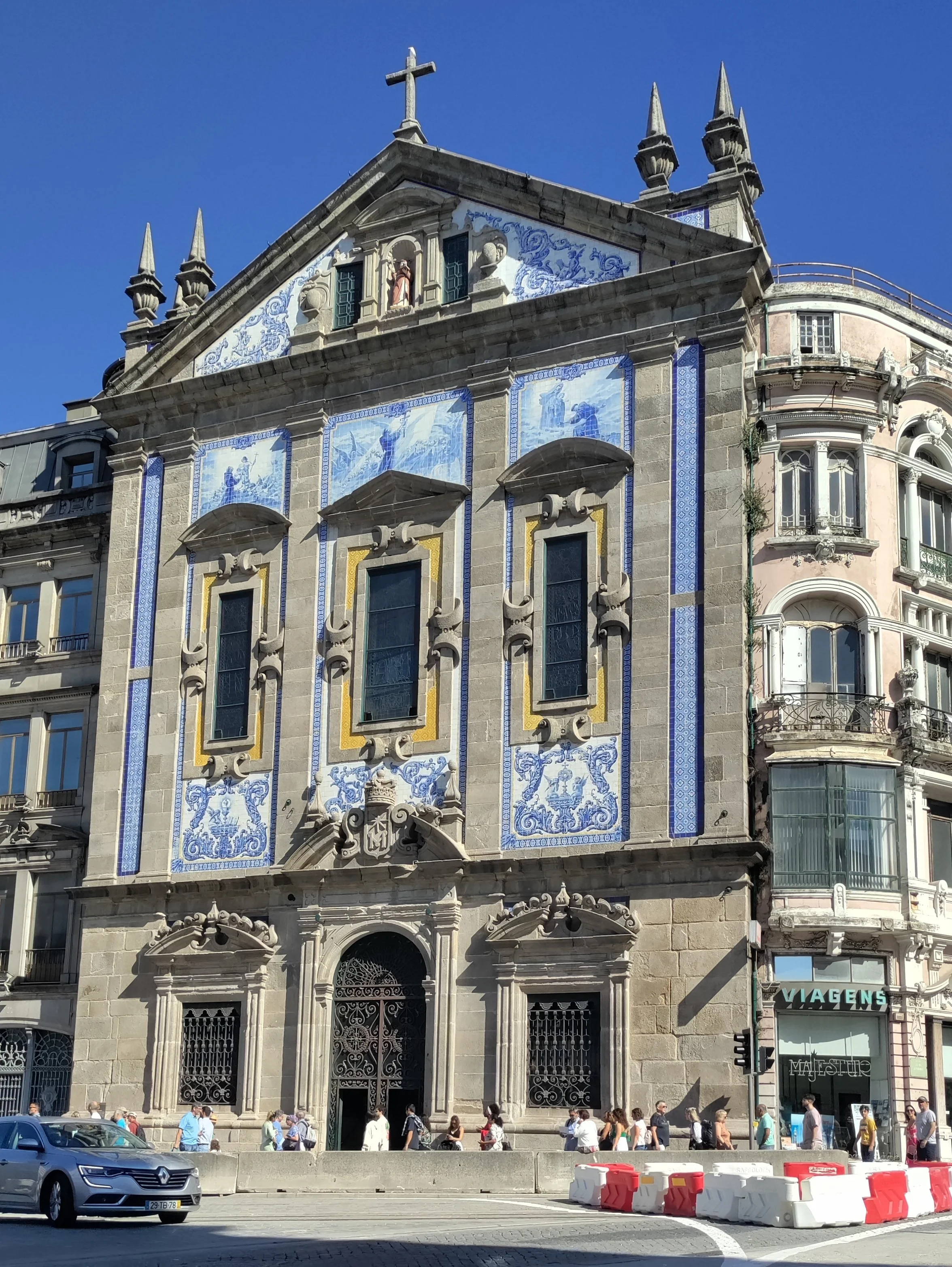
Church outside the train station
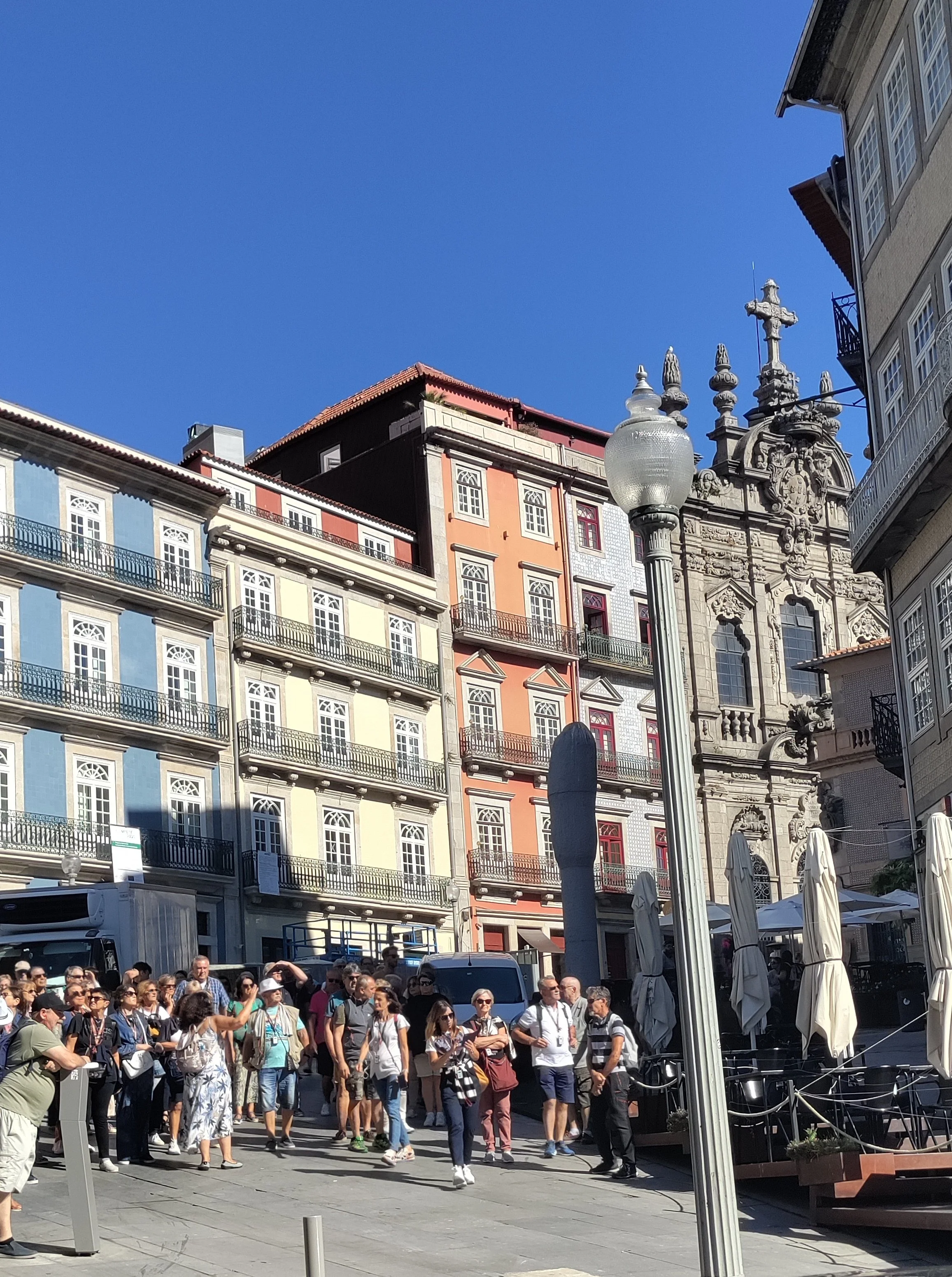
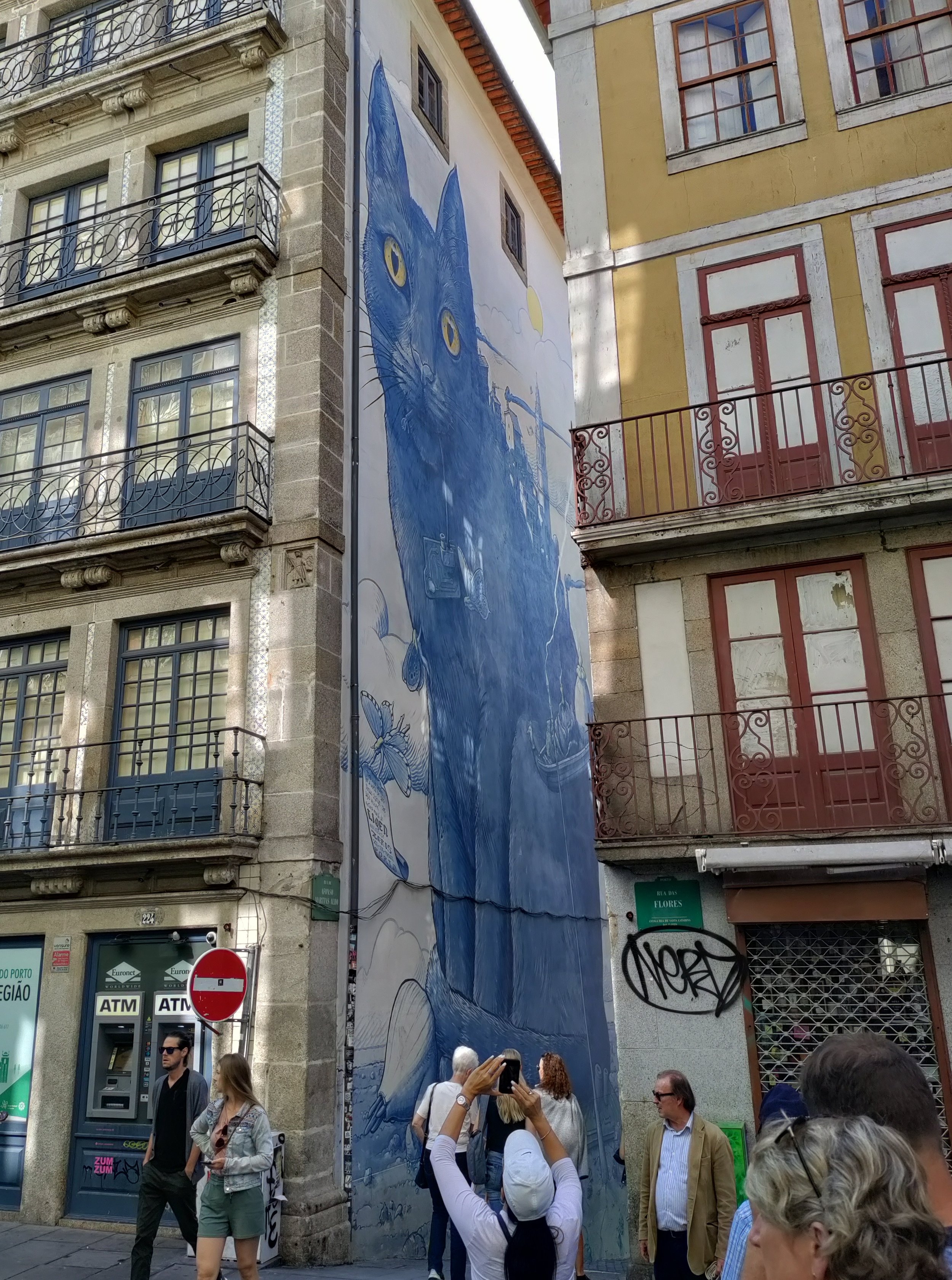
We were strolling along the street above and came across a cat mural in an alleyway that was 5 stories high.
Of course, it has a castle. This one overlooks the harbor.
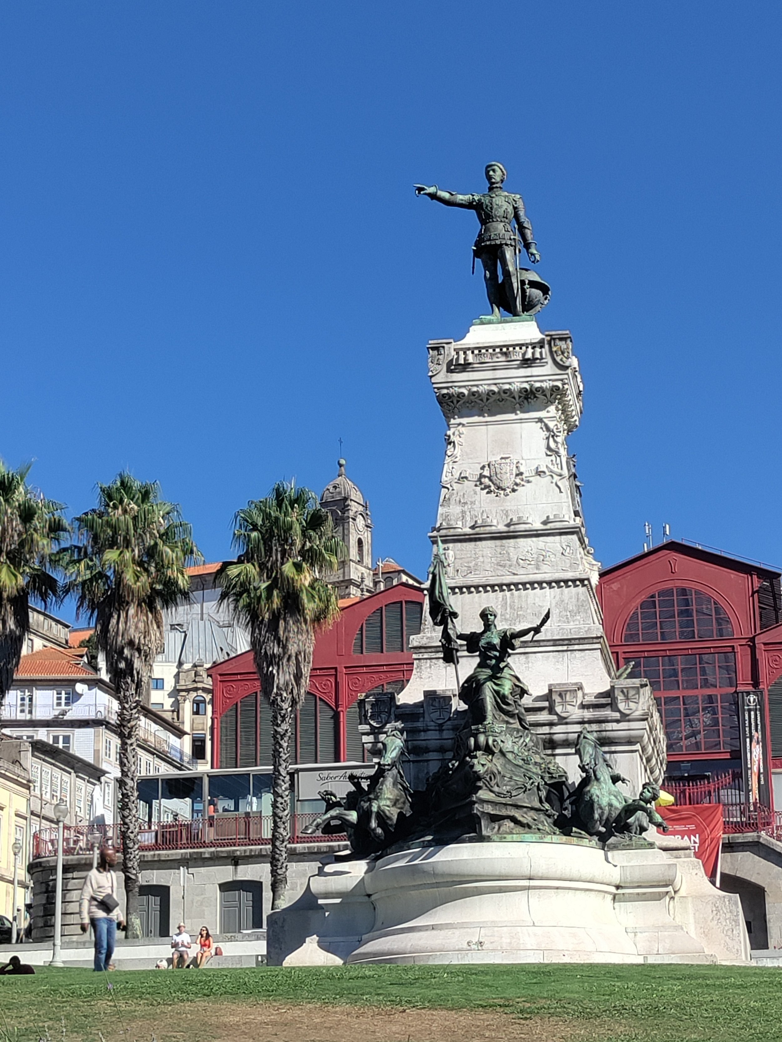
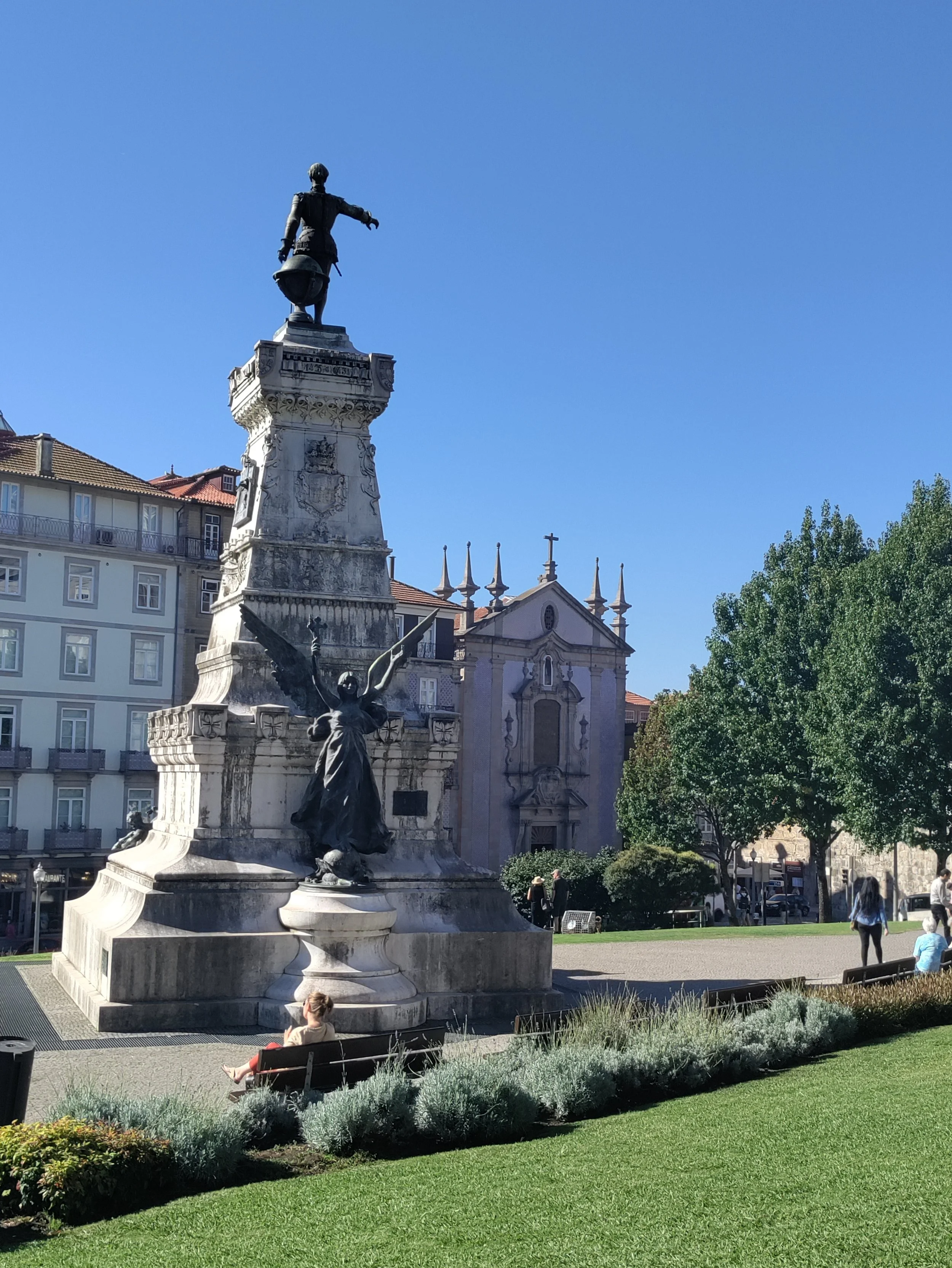
We came across a square on our walk to the river. It has a statue of Henry the Navigator who embodied the idea of the Portuguese exploring and mapping the world. The backside of the statue has Winged Victory.
All in all it is a beautiful city and beautiful weather. Upcoming posts will explore our trip up the river, food and the famous port caves.